I bet everybody knows this feeling when you get an interesting idea in your head, and you think – that is it! I need to do it! You start to dig into, but the first Google request shows that somebody has already implemented it. Bummer. I had one of those ideas the other day.
Since around a year or a bit more, I am into running. For tracking my running time and routes I am using an application, of course. It is nice to look at some statistics. After one of the runs, I looked at the route, and it reminded me of some figure or a drawing. And then a thought came to me – what if we draw something on a map while running using a GPS tracker?! Just imagine: a whole community running and sharing their routes!
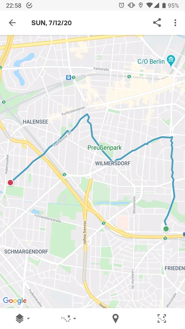
My first deliberate attempt to draw during running was a letter “M“. It is supposed to be the first letter in either my wife’s name, or in the word “Metallica“. I’m not sure yet.

As it turned out, I am not the only one to come up with this idea. Drawing on a map with a GPS tracker is called GPS Art. It originated in 90s, and, of course, became more popular with a spread of mobile GPS devices. Check out hashtag #gpsart on Twitter for inspiration.
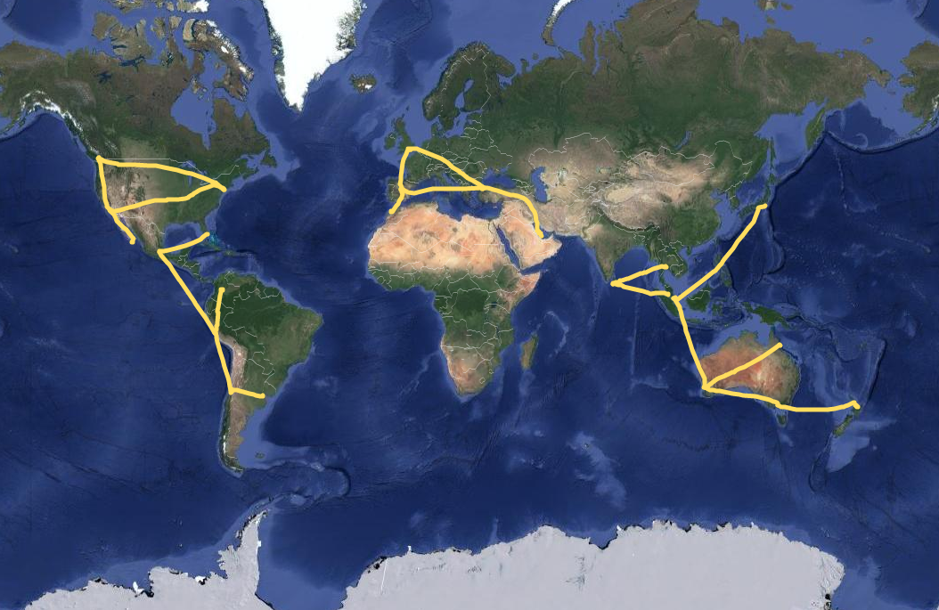
The community also has its heroes. For example, the largest drawings on Earth belong to Japanese artist Yasushi Takahashi. Here is a word “peace“… 60,794 km long.

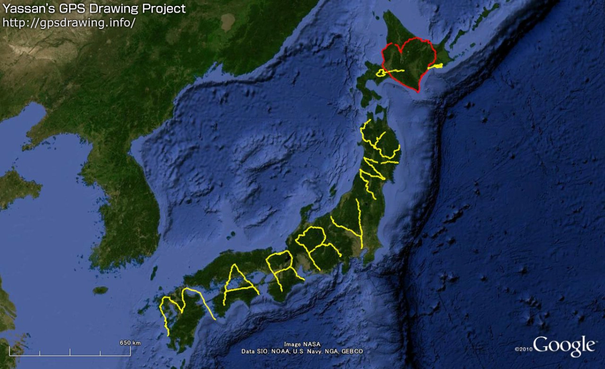
And here is “Marry Me“ over the whole Japan.

You can check out more of his work at http://gpsdrawing.info/.
But anyway, a journey of a thousand miles begins with a single step. So I guess I just go put my running shoes on and take a bunch of those single steps for now.